Saturday, August 26, 2023

RAPID INTENSIFICATION SCENARIO!

 RAPID INTENSIFICATION SCENARIO! The hurricane specific models had locked on with the formation of a center of circulation and it’s not good. We will see a CAT3 or 4 major hurricane in the Gulf of Mexico making landfall on the Florida panhandle. Those in the path of this storm make your evacuation plans now. Have a place to go. You have till Tuesday. This is going to be a killer storm. #SELAWX


Friday, August 25, 2023

Invest 93L

 Our Red Crayon area has now been designated INVEST 93L. So we are now getting spaghetti plots. Remember there is no center for the models to lock in on so the plots will change. There is some meandering forecast over and around the Yucatan for the next couple of days. So do not rely on the lines of the plots yet. The area of concern, is the upper and Eastern Gulf Coast from central Louisiana to Miami. This includes the entire West coast of Florida and the Keys. Of course an upper Gulf Coast landfall could be catastrophic as there is the chance for rapid intensification. While it is more likely to be a minimal hurricane. PLEASE MAKE PLANS FOR EVACUATION! Have some where to go. Listen to your local officials for guidance. With that said. Here is the latest from the NHC. Also the EURO ensembles, Operational Intensification Plots, GFS Ensembles, and the Operational Mosaic. We should have more hurricane specific modeling out shortly. #SELAWX


Thursday, August 24, 2023

Gulf of Mexico Watch


 IMPORTANT UPDATE: Orange area in the Gulf of Mexico by the beginning of next week. For those that are saying this is only going to be a Tropical Storm. The possibility of a rapid intensification scenario does exist in the Gulf of Mexico as water temperatures are very hot. Although unlikely it’s still a possibility. This is going to happen fast and everyone needs to be prepared. Model guidance is hinting at a Florida peninsula landfall. But upper Gulf is not eliminated yet. It’s just to early to tell. Once a center forms we will have much better consistency on guidance. But then we will only have a few days, if that. So everyone on the Gulf coast need to have a plan. Also the Atlantic East coast as some models have a Keys, Homestead, Miami component to the predicted path. #SELAWX 


Tuesday, August 22, 2023

Keeping an Eye on the Gulf

 We need to watch the CAG (Central America. Gyre) for a pull up of a Low pressure system. The ensembles are hinting at tropical cyclonic development in the Bay of Campeche, Yucatan, Western Caribbean area. Here are the blended composite models NCEP. They combine EURO , CMC ensembles, Also the EURO and GFS ensembles. 5 to 10 days out.


#SELAWX

Saturday, August 19, 2023

Tropics Are Heating Up

 The Tropics are heating up and so is SE Louisiana. Excessive Heat Warnings are in effect for most of SELA. In the tropical Atlantic we are watching 3 tropical waves for development. All three have invest status now. 98L, 99L, 90L. Then there is a wave entering the Gulf of Mexico and will bring rain to Florida and SE Texas. Some model support for it to spin up just before landfall to a TD or minimal TS in SE Texas. 98L is going to spin off into the Atlantic and may get the Emily name as it is already looking like a TD. 99L could bring rain to the Northern Lesser Antilles and 90L could bring rain to the Lesser Antilles and Hispaniola as it enters the Caribbean and turns North. Try to Stay Cool!


Friday, August 18, 2023

Tropical Wave

This weekend we have a tropical wave that will enter the GOM. It’s predicted to be moving fast and not have time to develop much. Current predictions have it at a strong tropical depression or minimal tropical storm strength at landfall in East Texas. This is mostly a rain event for South Florida and Southeast Texas. Here are the EURO and GFS ensemble models. Be sure to stay weather aware. #SELAWX


Sunday, August 13, 2023

Keeping an Eye onThis


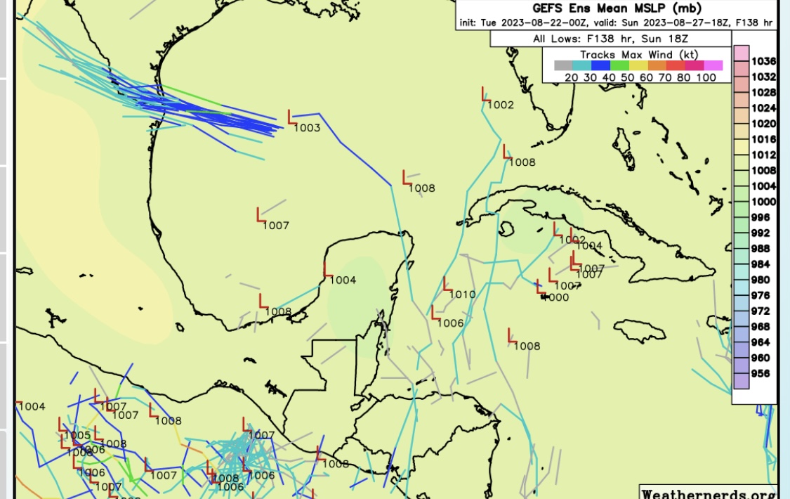
 NHC is highlighting this area with a 20% chance of tropical cyclone formation in the 7 day forecast. It has little model support but we will just have to wait and see. The MJO will be coming back into a favorable phase over the Atlantic ITCZ. Aug 16 - Sept 10. The SAL will be weakening as well. So it could be on like Donkey Kong. 


Tropical Weather Outlook

NWS National Hurricane Center Miami FL

200 PM EDT Sun Aug 13 2023


For the North Atlantic...Caribbean Sea and the Gulf of Mexico:


1. Eastern Tropical Atlantic:

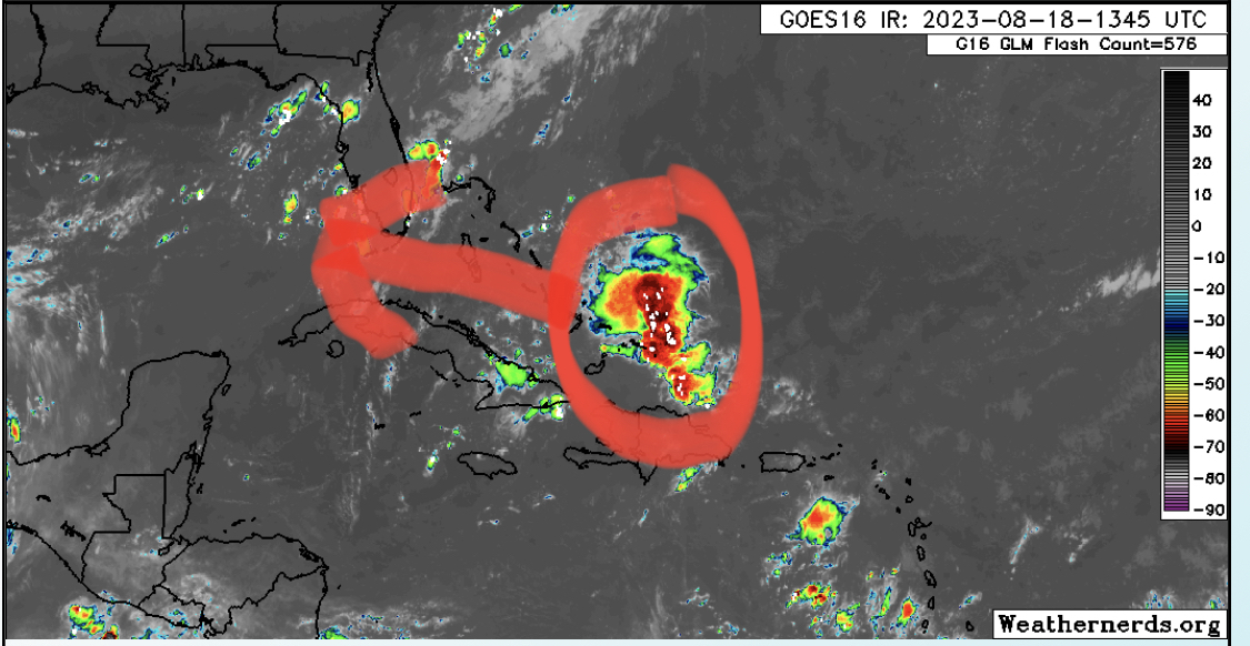
A broad area of low pressure is forecast to develop during the 

middle part of this week over the far eastern Atlantic between the 

Cabo Verde Islands and the west coast of Africa. Some slow 

development of this system is possible later this week as it moves 

west-northwestward or northwestward across the eastern Atlantic.

* Formation chance through 48 hours...low...near 0 percent.

* Formation chance through 7 days...low...20 percent.

Three Day Forecast

  Three day forecast and the coastal flood advisory. Unfortunately the little rain we’ve gotten has not put a dent in the drought. Nor has i...